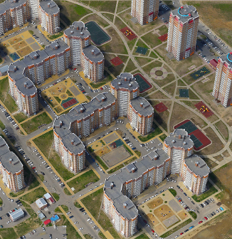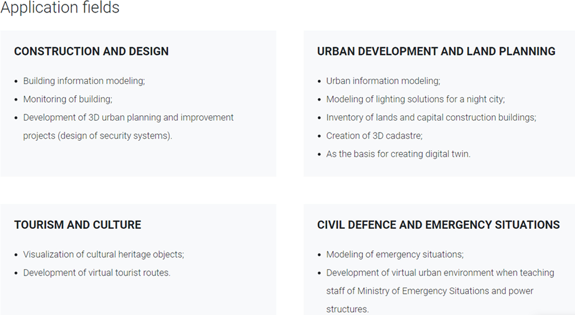
3D models by Geoscan may serve as a basis for a digital twin of populated area which clearly demonstrates interaction between various processes and parts of urban environment. It allows analysing infrastructure in a comprehensive matter and running it due to existing regulations and residents’ interests.
Photorealistic georeferenced 3D models of urban and natural environment are created on the basis of aerial photography with a Geoscan UAV equipped with a professional full frame camera. After processing data in Agisoft Metashape Pro software, precise orthophotos, DEM and 3D models are formed.

Technology
Aerial survey can be performed with a camera or laser scanner, as well as with the use of both equipment, which provides high detalization and realism of a 3D model.